
Professional UAV Solutions
Advanced drone platforms, thermal imaging, LiDAR, mapping, and aerial data solutions for public safety, utilities, agriculture, and industrial operations.
AGRICULTURE
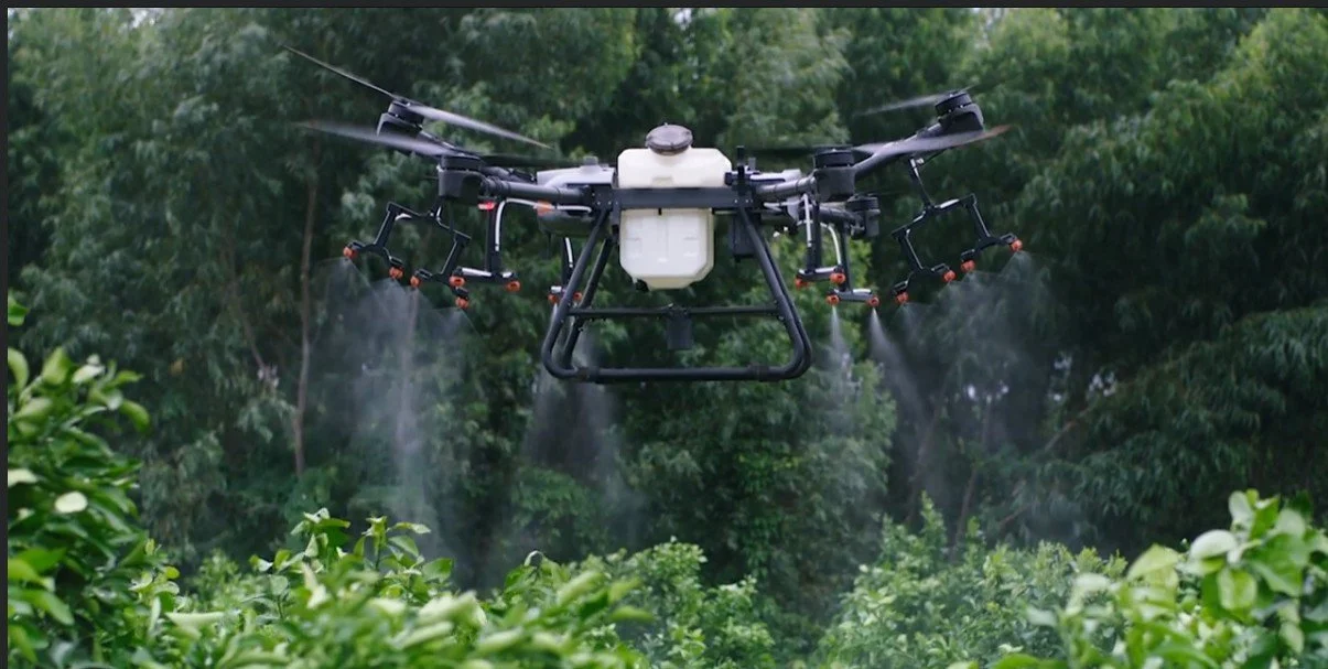
Drone-based crop and field monitoring for improved visibility into plant health and field conditions.
Solutions Built for Every Mission
Professional drone platforms and aerial data solutions tailored for industry-specific operations and mission requirements.
LiDAR & MAPPING
Large -Scale Surveying & Mapping
Infrastructure & Corridor Inspection
Agriculture & Environmental Mentoring
Mining & Construction
Defense & Public Safety
THERMAL INSPECTIOIN
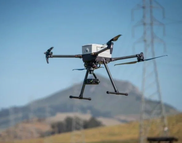
Powerline Inspection Drones
Wind Turbine Inspection Drones
Solar Panel Inspection Drones
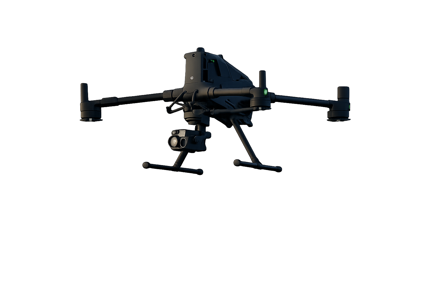
PUBLIC SAFETY
Public Saftey Operations
Search & Rescue (SAR)
Law Enforement
Firefighting Support
Thermal Imaging Inspections