QUANTUM SYSTEMS + YELLOWSCAN
Enterprise LiDAR Mapping Solutions
Sky Flight Robotics provides advanced aerial LiDAR solutions powered by Quantum Systems UAV platforms and YellowScan LiDAR technologies designed for efficient geospatial data acquisition across demanding operational environments.
Combining long-endurance autonomous flight systems with high-accuracy LiDAR payload integration, these enterprise mapping workflows support surveying, corridor mapping, infrastructure inspection, terrain modeling, forestry analysis, and large-scale geospatial intelligence operations.
Our LiDAR platforms help organizations capture accurate, actionable aerial data while improving operational efficiency, reducing field time, and streamlining complex mapping missions.
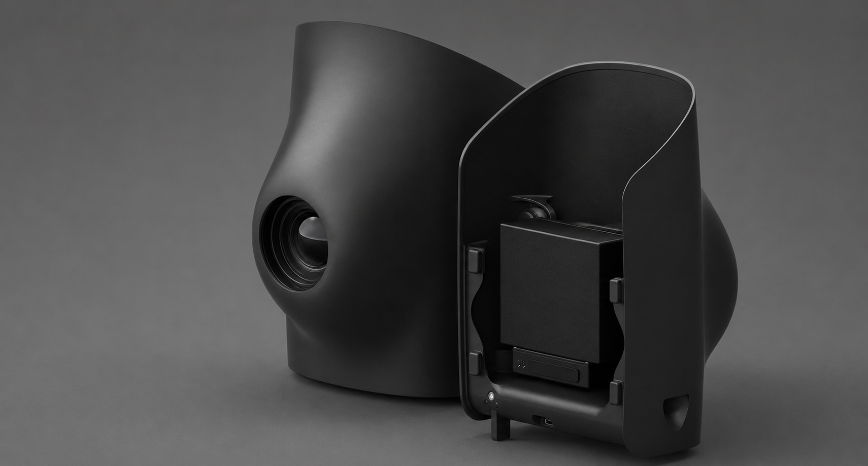
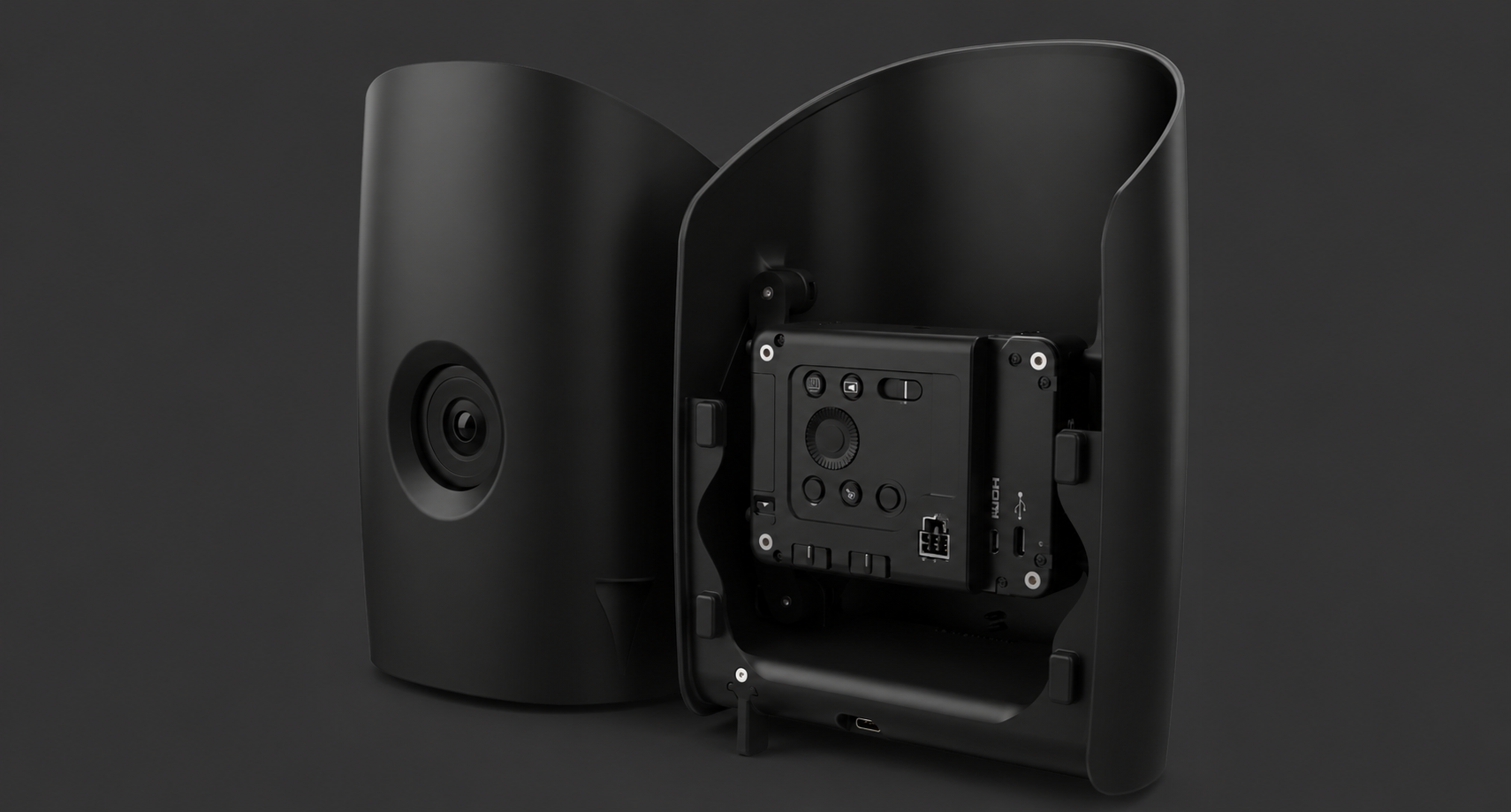
DJI ENTERPRISE PAYLOAD
ENTERPRISE
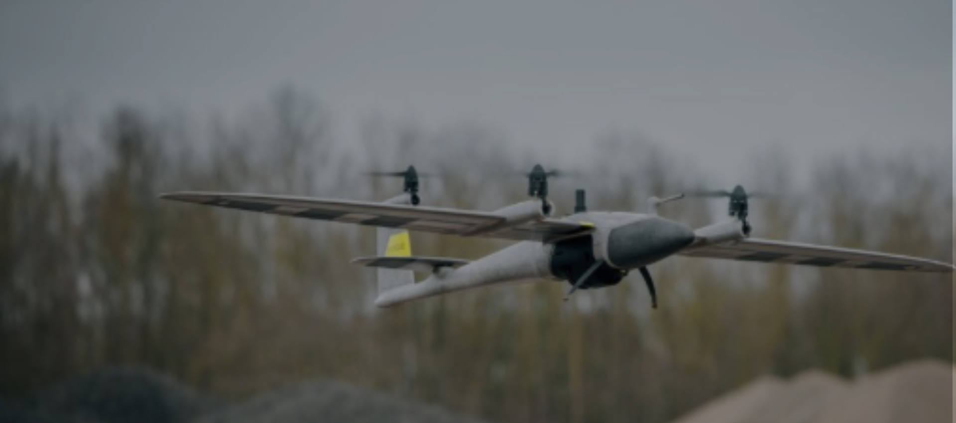
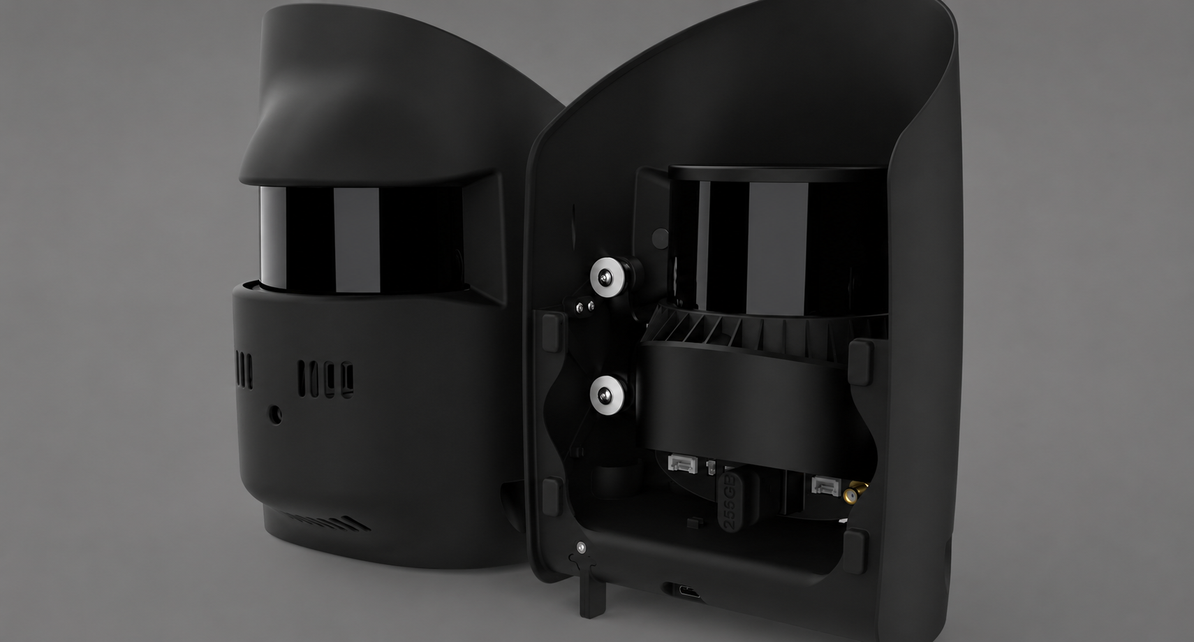
LIDAR SOLUTION
Advanced aerial LIDAR payload for surveying,
mapping, inspection, mining, utilities, forestry,
and infrastructure operations.
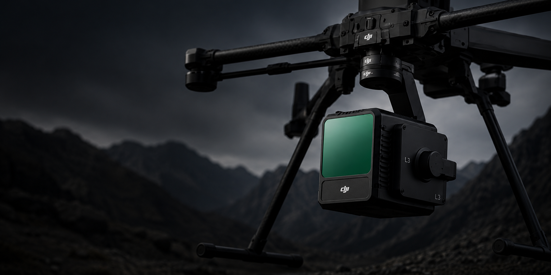
KEY FEATURES
• 1535nm Long-Range LiDAR
• Dual 100MP RGB Mapping Camera System
• High-efficiency mapping: covers up to 10 km² per flight or 100 km² per day
• Survey-grade accuracy: delivers 2–4 cm precision for mapping applications.
• Adjustable point-rate control: 100 kHz – 2 MHz to balance density and coverage.
• Compact low-power design: 1.6 kg payload draws only 64 W typical power.
• Dual 100 MP Micro 4/3 cameras: generate orthophotos and colorized point clouds.