LiDAR & Mapping Drone Solutions
Enterprise aerial mapping and LiDAR platforms designed for surveying, construction, infrastructure inspection, and geospatial data collection workflows.
Compatible Payloads
• YellowScan LiDAR
• Sony ILX-LR1
• MicaSense Altum-PT
• MicaSense RedEdge-P
• Qube 640 Thermal
GEOSPATIAL OPERATIONS
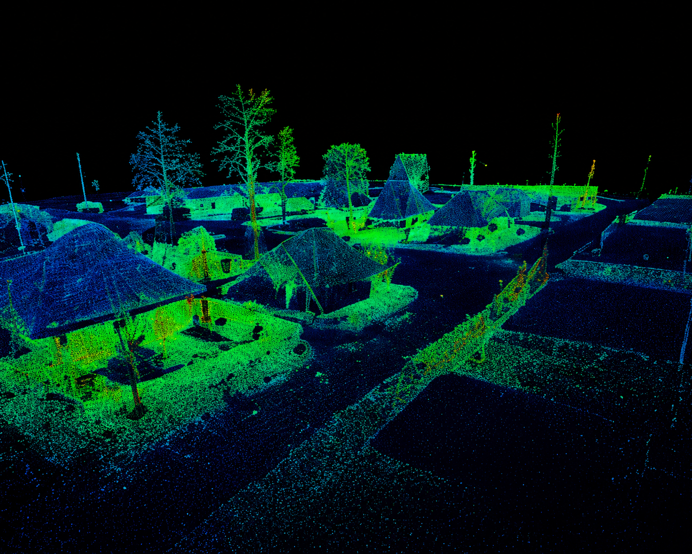
Advanced Aerial Mapping Workflows
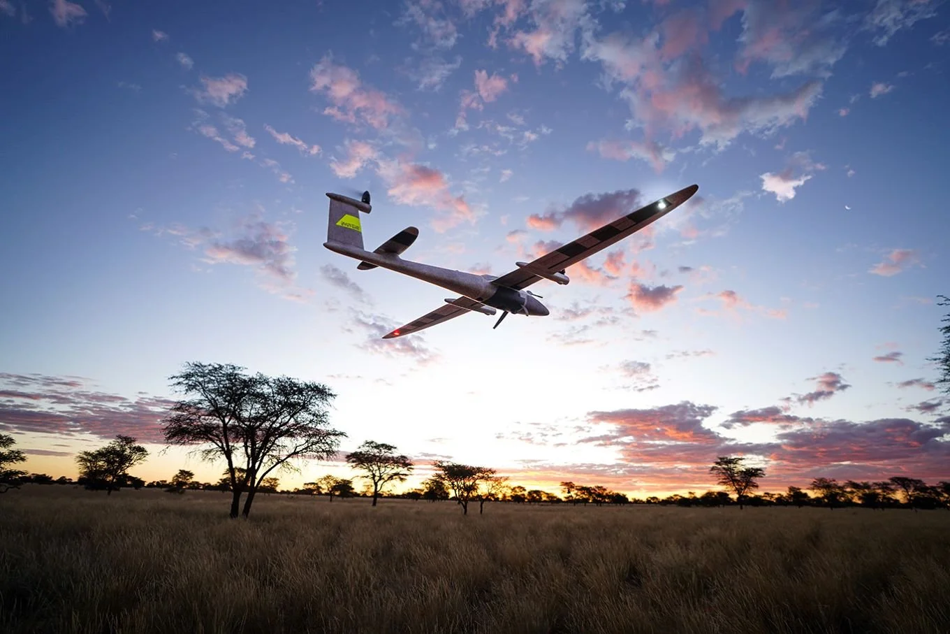
Sky Flight Robotics delivers advanced aerial LiDAR solutions powered by Quantum Systems UAV platforms and YellowScan LiDAR technologies designed for high-efficiency geospatial data collection workflows.
Combining long-endurance autonomous flight with high-accuracy LiDAR payload integration, these systems support surveying, corridor mapping, infrastructure inspection, terrain modeling, and large-scale geospatial operations across demanding environments.
Our enterprise mapping platforms help organizations capture accurate, actionable aerial intelligence while improving operational efficiency, reducing field time, and streamlining complex aerial data acquisition workflows.