
 Image 1 of 4
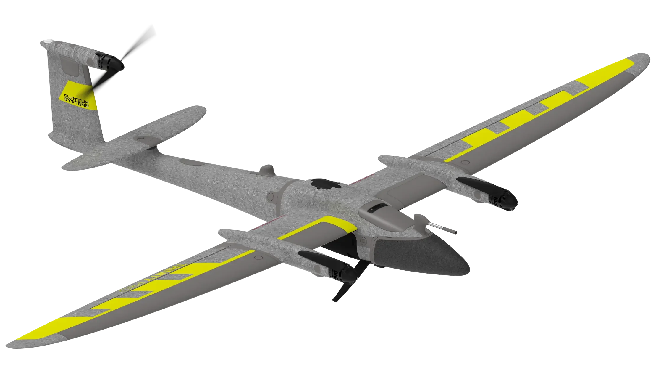 Image 2 of 4
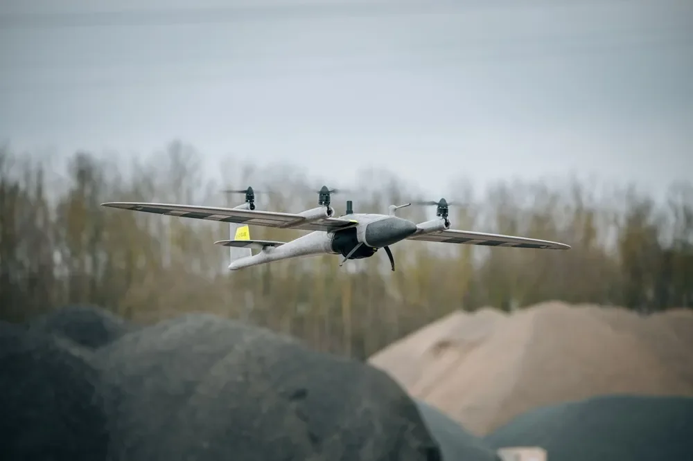 Image 3 of 4
 Image 4 of 4
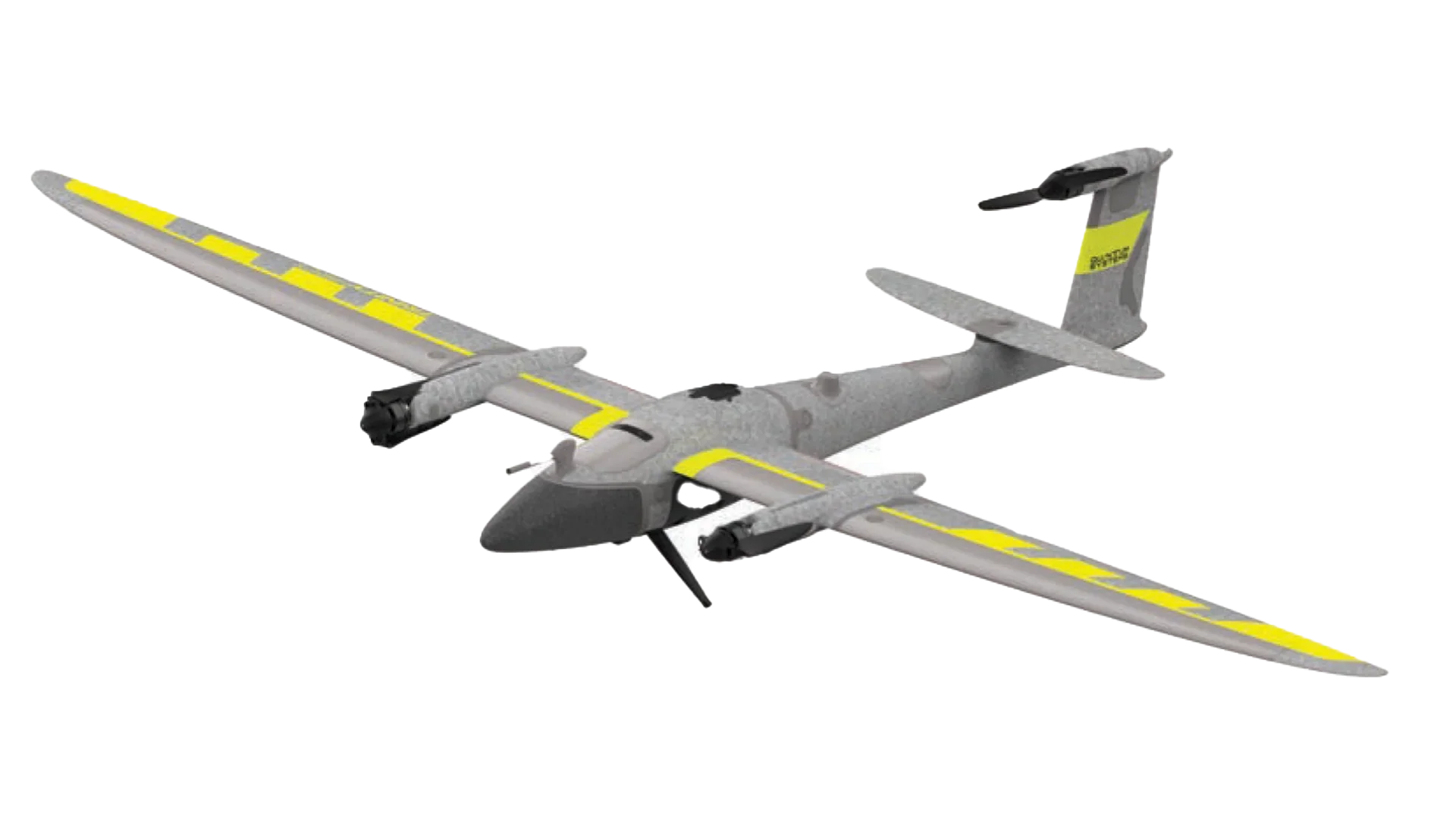
The Quantum Systems Trinity Pro is a professional fixed-wing VTOL drone designed for high-efficiency aerial mapping and geospatial data collection. Built for large-area surveying missions, the Trinity Pro combines the endurance of a fixed-wing aircraft with the vertical takeoff and landing capability required for challenging terrain and remote environments.
With long flight times and advanced mission planning capabilities, the Trinity Pro enables professionals in surveying, agriculture, mining, and infrastructure inspection to collect high-resolution data quickly and accurately. The system integrates advanced GNSS technology and automated flight planning to deliver consistent, survey-grade results across large mapping areas.
Ideal for geospatial professionals and commercial drone operators, the Trinity Pro platform supports a range of professional imaging payloads and delivers reliable performance in demanding field conditions.
• VTOL fixed-wing drone for large-area mapping missions
• Long-endurance flight performance
• Survey-grade data accuracy
• Automated flight planning and mission control
• Ideal for mapping, surveying, agriculture, and infrastructure inspection
The Trinity Pro is widely used for:
• Aerial mapping and surveying
• Precision agriculture analysis
• Mining and terrain mapping
• Infrastructure inspection
• Environmental monitoring